
Eagan ZIP Code Coverage
The strongest city-specific evidence identifies three choices for an Eagan ZIP code directory: 55121, 55122, and 55123. The City's 2022 National Community Survey offered those three codes to Eagan respondents. City Hall uses 55122, and the Eagan Sorting and Delivery Center, or SDC, uses a 55121 address. Those facts help identify the principal city ZIP choices, but they do not create a street-by-street boundary. Confirm each address with USPS before assigning it to a postal or municipal area.
| ZIP | Areas covered | Post office | Notes |
|---|---|---|---|
| 55121 | Eagan city ZIP choice; official local materials include central and Lexington Avenue-area development | Eagan SDC, 3145 Lexington Ave S | Verify the exact street with USPS. |
| 55122 | Eagan city ZIP choice; includes the City Hall postal address | USPS service associated with Eagan SDC | Postal boundary does not equal the Eagan city boundary. |
| 55123 | Eagan city ZIP choice; local materials place it in southern and eastern Eagan service areas | Eagan SDC service area | Check a particular street through USPS. |
| 55118 and 55120 | Listed in the Eagan SDC's facility service area, not established here as Eagan municipal ZIPs | Eagan SDC | Facility service is not proof an address lies in Eagan. |
The Dakota County ZIP map gives a useful visual starting point for the Eagan ZIP code directory.
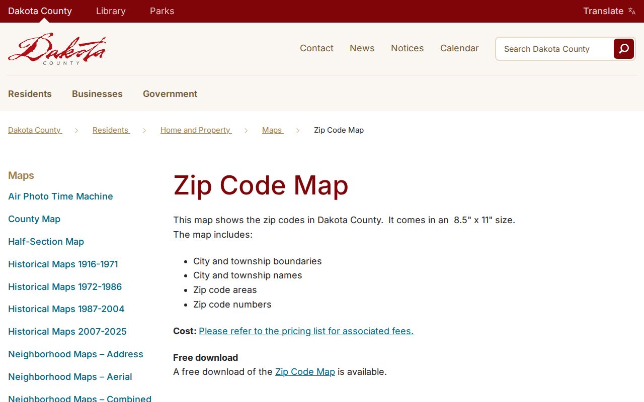
The county map also lists other Dakota County ZIP areas, including 55124. Map appearance alone does not establish that each of those codes serves an address inside Eagan.
Eagan Postal Service Area
Postal facility service and city geography are different layers. A July 2026 USPS informational notice says the Eagan SDC serves 55118 and 55120 through 55123. That wider facility list helps explain why a postal search can return a nearby community even when the facility bears the Eagan name. An Eagan ZIP code directory should therefore distinguish the three city survey choices from the service ZIPs named in the facility notice.
The county parcel's municipality field and the City Boundary layer are better evidence for whether a physical place is within Eagan. USPS mailing-city labels are delivery labels. They can differ from an incorporated municipality, and an address associated with an Eagan postal facility can be outside the city. Compare all three sources for a boundary question: USPS for delivery assignment, city or MNDOT mapping for municipality, and the county parcel record for property context.
The USPS Eagan SDC location record provides the postal-facility context for this Eagan postal check.
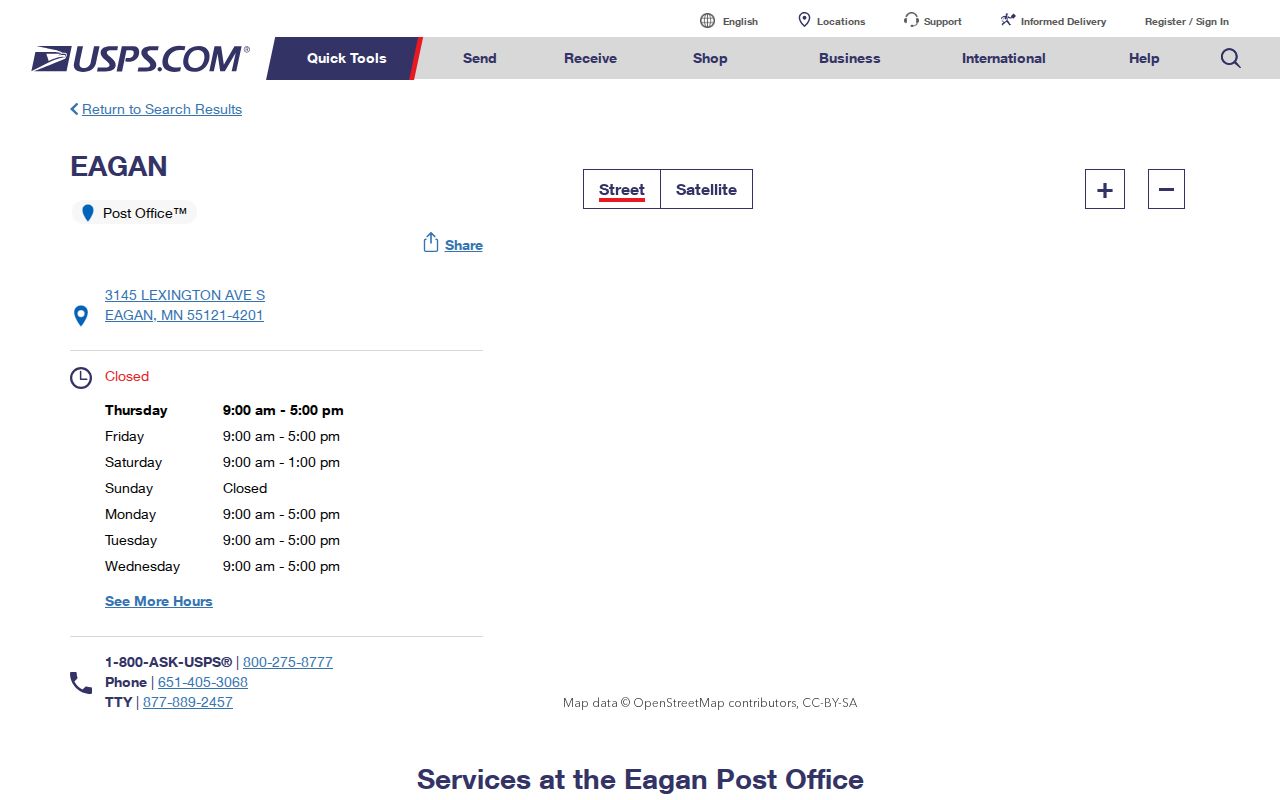
The facility image supports a service-area check, not a claim that all of its listed ZIPs fall inside Eagan.
Eagan ZIP Lookup Fields
USPS assigns ZIP Codes for delivery, and a specific address lookup is the right way to verify a mailing assignment. The USPS ZIP Code Basics explanation is a useful companion when a mailing city name and a city boundary do not agree. It does not substitute for a parcel or city-boundary check. For a voter registration match, Minnesota's form can start in ZIP mode but continues with name and full-address fields.
| MNVotes field | Type | Required in ZIP mode | What it does |
|---|---|---|---|
| First name and last name | Text | Yes | Identifies the person whose registration is being checked. |
| ZIP Code | Text | Yes | Starts the address search in ZIP mode and validates invalid characters. |
| City or township | Text or select | Yes | Supplies the local address component. |
| House number and street | Numeric text and text | Yes | Completes the address match; a unit is required when its box is checked. |
| Find your registration | Button | After fields are complete | Returns registration status and next-step information, not a ZIP-wide file. |
The USPS ZIP Code Basics page explains the delivery role of the postal code used in the address check.
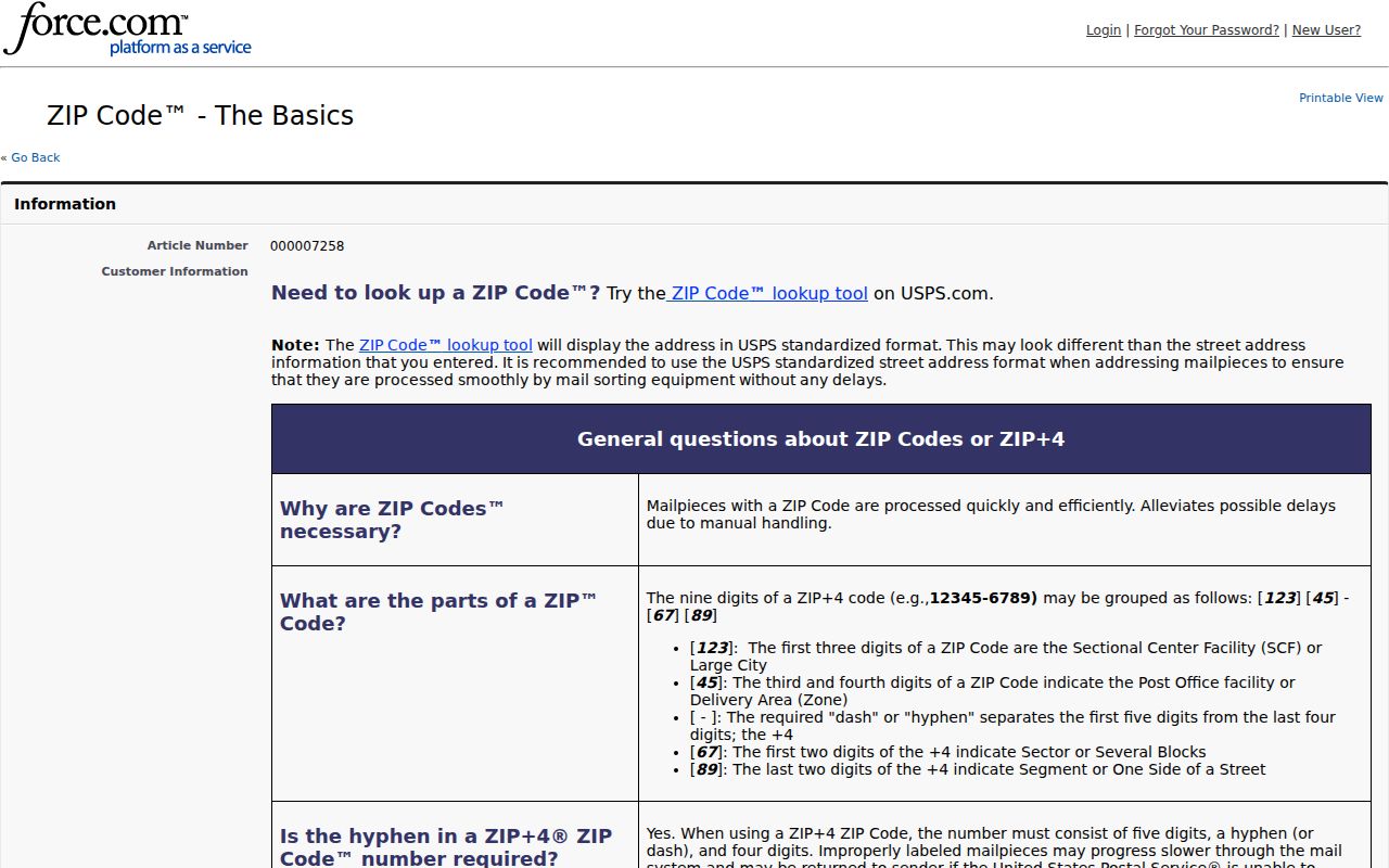
Apply that postal assignment to a full address, then compare it with the municipal and parcel evidence. The voter tool updates nightly, but local registration processing can take up to 14 days and then appears the following day.
Eagan ZIP Parcel Checks
Dakota County Property Information does not begin with a ZIP-wide search. It accepts a verified address or a PIN, then returns a selected parcel with its owner, owner mailing address, municipality, tax description, school and watershed districts, tax data, homestead status, and building facts. The address field permits a full address or part of a house number or street name. That makes the portal useful after a ZIP confirms the mailing context, not as a substitute for the ZIP assignment itself.
Check the Property Information, Tax Information, and Building Information panels separately. A parcel may be pending or incomplete, and an owner mailing address can point outside Eagan. The county GIS adds parcel boundaries, addresses, PIN labels, subdivisions, dimensions, sales, and other layers, but it is not a legally recorded survey. Use the municipality field to support a local location decision and preserve the PIN and legal description for any later deed or plat research.
Searching an Eagan ZIP Code
A ZIP helps narrow an address, but the researched portals do not offer one shared ZIP-wide people search. Dakota County Property Information begins with an address or PIN. Eagan OnLama begins with an address, contractor, license holder, reference, or case identifier. MNVotes accepts a ZIP for a single-person registration match. The statewide voter-list product uses cities, counties, districts, wards, precincts, or statewide geography and has certification and use limits.
- Verify the delivery ZIP for the specific address through USPS. Save the returned street form and mailing-city label.
- Check the location against the Eagan city boundary or county parcel municipality field. Do not infer municipality from the postal label.
- Search Dakota County Property Information by the verified address or PIN. Its property, tax, and building panels provide parcel-level context.
- When checking a known registration, use MNVotes ZIP mode with the required name, city or township, house number, street, and unit information.
- Use an authorized voter-list request only for the permitted city, ward, precinct, county, district, or statewide geography. It is not a ZIP export.
Once the ZIP has narrowed the address, the Eagan street directory has the parcel, GIS, deed, and permit workflow for the individual street.
Eagan ZIP Code Boundaries
ZIP Code boundaries and Eagan city limits can disagree. The 2024 Minnesota Department of Transportation city map shows the municipal boundary, highways, arterial roads, and neighboring communities. The City GIS political and administrative service also publishes City Boundary and Eagan Precincts layers. Postal boundaries serve delivery needs, not municipal jurisdiction. A physical location can have a mailing-city label that differs from its incorporated city, and a ZIP associated with the Eagan SDC can serve an address outside Eagan.
Keep three address fields separate during an Eagan ZIP code directory search: the situs address is the parcel's physical location, the mailing address is where tax or record correspondence is sent, and the legal description is the formal land identifier. A ZIP and postal-city label is neither a legal description nor a municipal-boundary decision. That distinction prevents a delivery code from being mistaken for a property record.
Boundary check. Verify a specific address with USPS, then compare the city boundary and county parcel municipality field before describing it as an Eagan location.
Eagan ZIP Terms
Postal terms are short, but they describe different things. Use them precisely when recording a result from an Eagan ZIP code directory search.
- ZIP Code
- A Postal Service delivery-area code used with an address. It does not set a legal city boundary.
- ZIP+4
- An added four-digit delivery segment used to narrow mail routing beyond the five-digit ZIP Code.
- PO Box ZIP
- A ZIP Code used for post-office boxes, which can be distinct from the ZIP used for street delivery.
- Unique ZIP
- A ZIP assigned to one large organization or destination. No Eagan example was established in the research.
- Carrier route
- A mail-delivery route grouping. It is not a municipal boundary or a parcel identifier.
These terms also explain why a ZIP result needs an address-level check. A mailing code can be accurate for delivery while still offering little evidence about the city's legal boundary or a parcel's ownership history.
Eagan ZIP Code History
Address research in Eagan often crosses more than postal geography. Eagan began as a township and incorporated as a city in 1974. Older records can therefore use township, county, subdivision, rural-route, post-office, or later city terms for the same general area. A historical street name may appear in a telephone book, plat map, or deed without the modern field pattern found in a current parcel record.
For an older address, compare the current PIN and parcel map with Dakota County historical maps from 1916 through 1971, DCHS plat ownership maps from 1879 forward, and verified Eagan telephone-book lines. A postal code is only one clue in that chain. Use it to check delivery context, then use the PIN, legal description, and recorded plat to bridge older land descriptions.
Note: No documented Eagan ZIP split, realignment year, or official street-by-street USPS boundary table was found in the research.
Eagan ZIP Research Gaps
A blank ZIP result deserves the same care as a positive match. The county ZIP map is visual and downloadable, not an address-to-ZIP application programming interface. Property Information is address or PIN based, not a ZIP-wide people search. OnLama's public help describes address and name or case search paths, not a ZIP filter. The voter lookup is a single-person match and the list product has restricted geography and use rules.
Document the custodian, search date, full address, ZIP entered, postal city label, parcel PIN if found, boundary source, selected filters, and the system's exact response. This record can reveal whether the apparent mismatch came from a ZIP boundary, a street suffix, a unit, an older address form, or an unavailable search mode.