
Eagan Previous Residents by Record Era
An address trail changes character as it crosses from current parcel evidence to older paper, fiche, maps, and local-history material. Deeds establish transfers of an interest in land, while telephone books and census sources can add a dated household clue. Neither type replaces the other. Keep the legal description, printed address, and date beside each observation so that a past-resident search stays tied to the same parcel.
| Source | Years It Covers | Where Held | What It Shows |
|---|---|---|---|
| RecordEASE abstract online index | 1993 forward in the stated online abstract description | Dakota County | Recorded transfers, mortgages, liens, and legal-description clues |
| Torrens RecordEASE index | Current status through 2026-08-20; older range varies | Dakota County | Certificate and tract-based title trail |
| Dakota County plat maps | 1879-present ownership-map holdings | DCHS and county GIS | Lot, block, subdivision, and owner-map context |
| Eagan telephone directories | Verified local items 1964-2011 | MNHS | Name, phone, and street cross-checks, with format gaps |
| DCHS newspapers | Microfilm back to the 1850s; title and year vary | Lawshe Memorial Museum | Notices, deaths, organizations, and address clues |
| Federal and state census at DCHS | 1849-1940 | Lawshe Memorial Museum | Historical household and location context |
| Eagan permit history | Construction data advertised 1995-present | Eagan portal and property hub | Address-linked permit, application, inspection, and document dates |
| Historical county maps | 1916-1971 selected map sequence | Dakota County GIS | Road, building, boundary, park, and landscape change |
Start with the period being tested. For a recent transfer, use the parcel and recorder path. For a mid-century address, try the verified telephone volumes and maps. For an earlier household trail, add DCHS census, newspapers, plats, cemetery material, and probate leads. A blank result may reflect a format gap, a changed custodian, a legal-description change, or an unindexed item rather than a true absence.
Set an Eagan Address Baseline
Before tracing previous residents, open the Dakota County Property Information Search with the current street address or parcel identification number, called a PIN. The help materials allow a full address, part of a house number or street, or a PIN with or without dashes. Select the matching parcel, then preserve the owner name, municipality, tax description or legal description, subdivision clues, and printable property detail.
The portal separates the physical parcel address, called the situs address, from the owner mailing address. That distinction is important. A mailing address is a tax-contact field and may identify an agent, business, or another location. Homestead status is also a tax-panel indicator, not a complete account of a household. For past residents, use these fields to anchor the parcel, then seek independent dated evidence for a person.
Note: Save the PIN, legal description, selected parcel date, and portal URL before changing any name or address search.
Eagan Previous Residents Before the 1993 Index Line
Dakota County RecordEASE requires an account or login, and the county states that its online abstract index has records from July 8, 1993 forward. The county also says abstract and Torrens documents in book-page and document-number ranges are digitized and the index becomes more complete over time. Digitized does not mean that every older party name, legal description, or image is complete in an online search.
When the deed chain crosses that line, ask Property Taxation & Records for a tract page or card, deed book and page, document number, legal description, and image or certified-copy options. Search both Abstract and Torrens systems when the parcel status calls for it. A missing hit in one system does not establish that no transfer occurred. Older links may need recorded books, microfilm, a tract-card route, or a county request.
RecordEASE lists monthly access at $30, with a $0.50 search, $1.50 recorded-document view, and $2.50 title or tract page/card. Occasional access is listed at $5 per session, $1 per search, $2 per document view, and $3 for a title or tract page/card. Those are access charges, separate from county copy and certification options.
Trace Eagan Previous Owners Through Deeds
A deed chain follows land interests backward, not a guaranteed list of past residents. Begin with the current parcel facts, then use the legal description and PIN to locate the current owner's purchase deed. In a purchase deed, the grantee is the party receiving the interest and the grantor is the party conveying it. The earlier seller becomes the next person to search as a prior grantee for the same legal description.
- Pull the current owner, PIN, legal description, municipality, and lot or subdivision clues from Property Information.
- Use the legal description or PIN in RecordEASE to locate a deed where the current owner appears as grantee.
- Capture the seller or grantor, recording date, document number, document type, and the description used by that instrument.
- Search that seller as an earlier grantee for the same land description, then repeat the reversal through each earlier conveyance.
- Use plats and tract cards to bridge lot, block, subdivision, or metes-and-bounds changes, then move to books, microfilm, or a county request for pre-index links.
- Grantor and grantee
- The party conveying an interest is the grantor. The party receiving it is the grantee. Their roles reverse when the search moves one transfer back.
- Chain of title
- The ordered series of recorded land-interest documents that connects one conveyance to an earlier one.
- Legal description
- The lot, block, subdivision, or metes-and-bounds description used in land records. It is more stable than a street address when names or roads change.
A trust, company, agent mailing address, or owner of record may not identify a former household. Pair the transfer history with dated directory, newspaper, census, probate, or permit evidence before deciding who lived there before.
Eagan Maps for Previous Resident Trails
Dakota County's historical map collection offers a practical bridge across the rural-to-city landscape. The available sequence includes 1916, 1926, 1930, 1948, 1949, 1955, 1958, 1963, 1965, 1967, 1969, 1970 front and back, and 1971. A map can show when a road, building, park, trail, or boundary appears, then guide a search for the corresponding plat, telephone book, or present-day PIN.
Eagan was established as a township in 1860 and incorporated as a city in 1974. The same land can therefore appear with township, county, rural-route, post-office, subdivision, or city wording. No official Eagan street-renumbering or renaming bridge was found in the research. Do not assume that an old street wording converts cleanly to a current address. Ask city GIS or Engineering for a documented bridge when the address itself is uncertain.
Dakota County's historical-map collection is shown in this Eagan previous residents reference image.
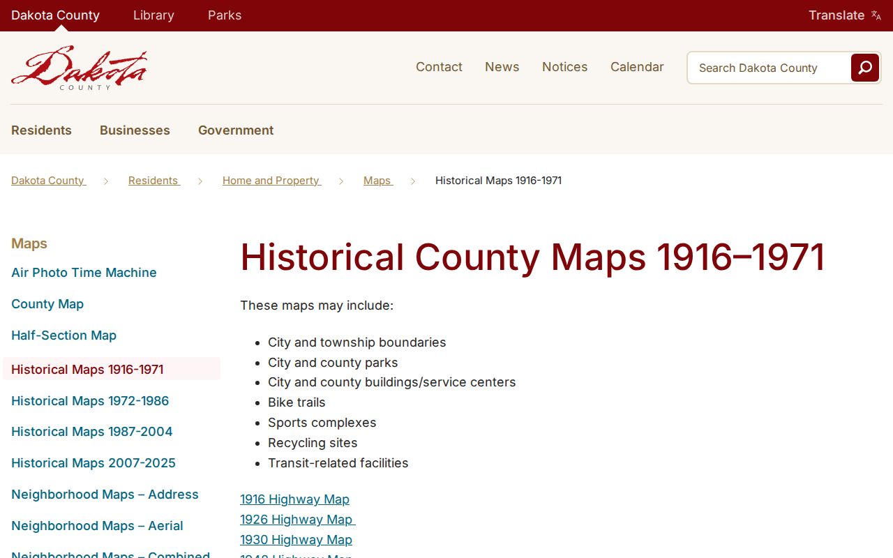
The map sequence helps test whether an older address should be read as rural land, a plat, or a later city parcel before the name trail is extended.
Eagan Permit Dates for Past Residents
The Eagan OnLama portal is an address-keyed municipal source that can add construction, application, inspection, license, planning-project, and document dates to an address history. Basic search can start with a street address, licensed contractor name, license-holder name, reference code, or permit, license, or case number. The help materials advise entering the street address without city, state, ZIP, or an apartment or suite at first.
Construction permit data is advertised from 1995 forward on the city property-information route. The portal says basic search is available without an account, while advanced keyword searches require registration. Results can be filtered and exported to CSV, with a 200-record limit, and a record may offer details, printable summary, a watch list, or available downloads. A permit can date work or municipal activity, but it does not prove a transfer or establish who lived at the address.
Eagan Previous Residents and House History
The MNHS Building History guide supplies a careful research path: check its online catalog, maps, directories, photographs, public libraries, county historical societies, State Historic Preservation Office inventories, and National Register files. It is a method, not evidence that every Eagan address has a prepared house file. The local bridge is DCHS ownership plats from 1879 forward, county maps, telephone volumes, and the Eagan Historical Society's photographs, clippings, and documents.
Sanborn maps need added care. MNHS lists statewide map holdings from 1867 through 1950 on microfilm 1622, but the source review did not confirm an Eagan sheet or year. Check the MNHS catalog or Library of Congress before assigning a Sanborn date to an Eagan building. County maps, plats, permits, aerials, and local photographs are better-supported alternatives when no Eagan sheet is identified.
MNHS's house-history guidance is shown in this Eagan previous residents reference image.
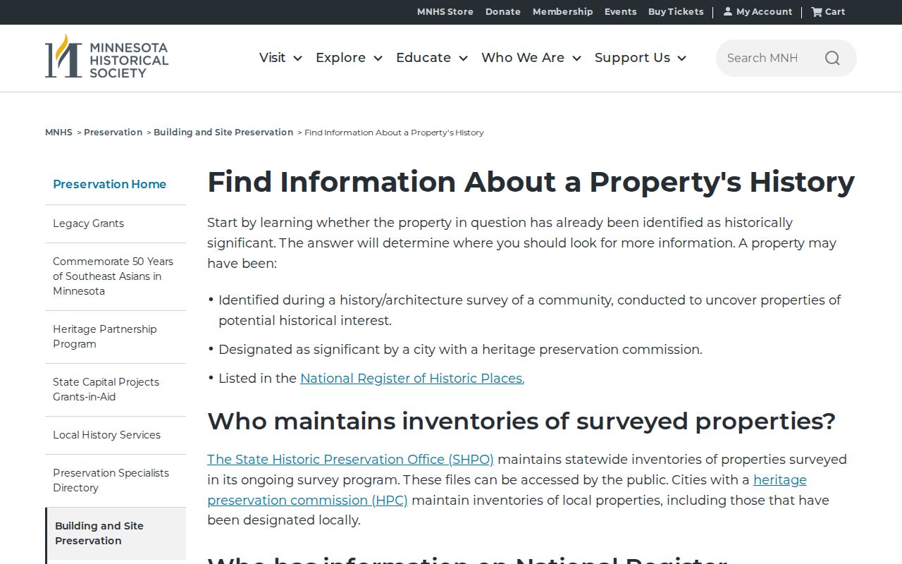
This approach keeps each address lead tied to its source type, so a map, directory, or record of work is not mistaken for a personal history by itself.
Past Eagan Households and Previous Residents
Past owners are only one part of an address history. MNHS has verified Eagan telephone-directory items from 1964 through 2011, with print, fiche, duplicate, and yellow-pages-only gaps. DCHS adds census holdings from 1849 through 1940, newspaper microfilm back to the 1850s, cemetery and obituary material, Catholic church records, and historical plats. Pair a directory observation with the closest lawful census or historical source, then preserve what each source actually says.
- Request the nearest verified Eagan telephone-book item and capture the printed name, street line, year, and format.
- Check surrounding available years, noting a move, a repeated address, a number change, a business-only listing, or a gap.
- Pair the dated line with DCHS census material from 1849-1940 or the appropriate permitted census index, respecting the 72-year public-release rule for detailed federal images.
- Use an obituary, cemetery entry, newspaper notice, or probate file as an endpoint or a reason to investigate a new address.
- For the directory collections and their year-by-year format limits, consult the Eagan City Directory before treating a missing listing as proof.
For deaths, the Minnesota Historical Society death index covers 1904 through 2001 and can return a name, death date and county, and certificate number. It is an index lead rather than a full personal account. DCHS staff can help locate a relevant newspaper, cemetery, or historical record where an address line needs confirmation.
Lawful use. Use Eagan previous-resident research for family history, house history, estate questions, or personal curiosity. Do not use records to stalk, harass, or harm anyone, and respect addresses protected through Minnesota data classifications or Safe at Home.
Eagan Property Watch for Future Records
Dakota County Property Watch is useful after an address trail has been established, not as a substitute for historical research. The free service lets a user subscribe by a name or entity and legal description. Monitoring begins from signup and an alert can include a matching party name, recorded date, document number, and document type when a future real-estate document is recorded.
Obtain the legal description from Property Information first, save the subscription date, and verify any alert in RecordEASE or with county records staff. Property Watch does not recreate older deed history, and it should not turn an historical address project into a way to track living people.
Dakota County Property Watch enrollment information is shown in this Eagan previous residents reference image.
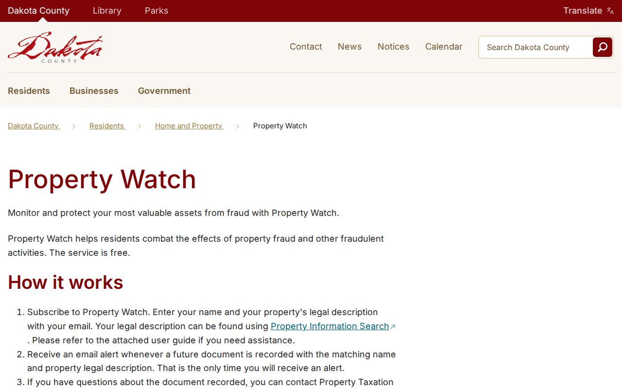
The service is most useful as a forward-looking record alert once the parcel's legal description has already been checked.
Note: Keep the property description and alert date with the deed-chain notes so a later alert can be checked against the correct parcel.